- Air Homepage
- Air Quality Modelling Service
- Air Quality Modeling
- Digital Terrain Elevation Data
How Digital Terrain Elevation Data Improves Air Quality Dispersion Modelling
Terrain is not just something you put underneath a map. Even a digital terrain elevation data map.
A hill, valley, escarpment, shoreline or elevated ridge can change how air moves around an industrial facility. In some locations, terrain has little practical effect on predicted concentrations. In others, using the wrong elevation data or overlooking an important terrain feature entirely can change the conclusions of an air-quality assessment.
For air-quality dispersion modelling, digital terrain elevation data helps answer a fundamental question: How will the landscape influence where emissions travel and where they may reach the ground?
The answer can affect model selection, receptor placement, meteorological processing, predicted concentrations and ultimately the credibility of a regulatory assessment.
At Calvin Consulting Group Ltd., we use terrain, land-use and meteorological information together to develop air-quality models that represent the actual physical setting of a project—not simply a flat piece of paper.
Terrain Changes the Airflow Before It Changes the Model
Suppose you are modelling emissions from a stack.
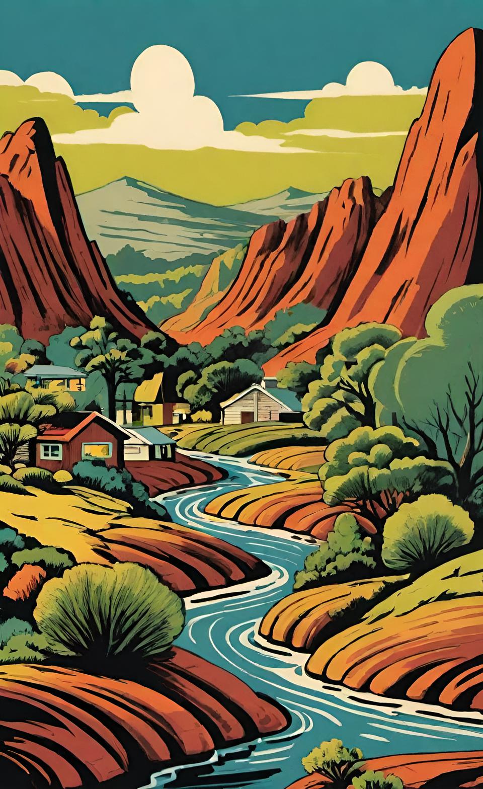 Predicting air quality with terrain data
The first instinct might be to focus on the stack itself:
- How high is it?
- How fast is the exhaust leaving?
- How hot is it?
- What is the emission rate?
- Those questions matter. But they are only part of the problem.
Now look outward. Is the facility located:
- in a valley?
- near an escarpment?
- below elevated terrain?
- beside a large lake?
- near the coast?
- on a ridge?
- in otherwise flat prairie?
- Those physical features can influence wind flow, atmospheric mixing and plume behaviour.
See relevant comments from Canadian air quality modelling guideline documents here.
Rather than: "What terrain file should I download?"
The more useful question I would ask is: "What physical features could change the modelling result?"
A high-resolution set of digital terrain elevation data is not automatically better if the model domain, coordinate system, terrain coverage or treatment of surrounding topography is inappropriate. Conversely, a relatively simple site may not require elaborate terrain treatment simply because detailed elevation data is available.
The purpose is more than to collect the most terrain data. It's to represent the terrain features that matter to the dispersion problem.
What Digital Terrain Elevation Data Actually Does
Digital elevation data provides a numerical representation of the land surface. Dispersion modelling programs use this information in different ways. For example, terrain processing can help determine:
- source elevations
- receptor elevations
- terrain heights surrounding receptors
- whether receptors are influenced by elevated terrain
- terrain features affecting plume behaviour
- landform information used in meteorological or dispersion calculations
For AERMOD applications, digital terrain elevation data processing is commonly performed using AERMAP, which assigns elevations to sources and receptors and develops terrain information used by the model.
For CALPUFF applications, terrain information can be incorporated into the meteorological modelling system through tools such as TERREL and CALMET.
The important point is that terrain data becomes part of the physical description of the modelling environment.
Does Terrain Actually Matter?
Not every project has a complex terrain problem. A facility located on relatively flat terrain may still require elevation information, but the terrain may not be the dominant factor controlling predicted concentrations.
Now compare that with a facility located near a ridge. Imagine that the stack is 40 metres above ground level, but elevated terrain rises above the stack base or plume trajectory nearby.
That immediately raises questions such as:
- Could the plume interact with elevated terrain?
- Are receptors located on hillsides?
- Does terrain rise above the release height?
- Are there valleys that channel airflow?
- Are important terrain features outside the immediate property boundary?
This is where experience matters. A modeller should not simply ask whether terrain exists. Terrain exists almost everywhere. The question is:
Is the terrain capable of changing the dispersion result in a way that matters to the assessment? That requires looking at the physical relationships amongst:
- the source
- the receptors
- the surrounding terrain
- the meteorology.
In British Columbia, Terrain Can Become the Main Story
British Columbia provides some of Canada's clearest examples of why terrain deserves serious attention. A project may be located near:
- mountains
- valleys
- complex coastlines
- fjords
- large bodies of water
In these situations, the terrain is often closely connected with the meteorology. Winds may be influenced by valley flow, mountain barriers, land-water temperature contrasts or localized circulations.
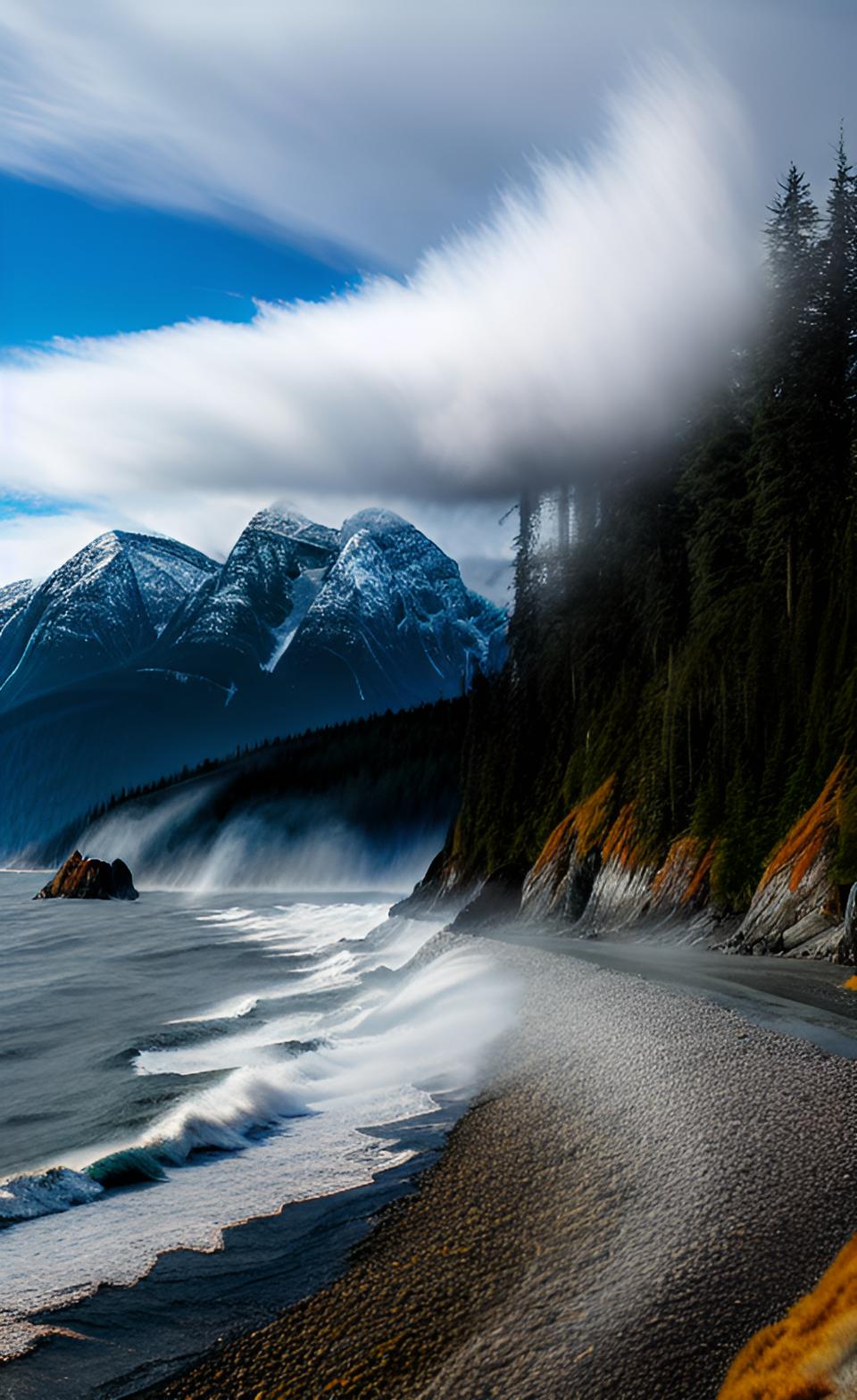 Coastal Winds Alter Pollution Spread and including Digital Elevation Data Improves Predictions made when using Models
This means that a dispersion assessment may require more than simply assigning elevations to receptors. The modeller may need to consider whether the meteorological system itself adequately represents the physical processes affecting transport and dispersion.
This is one reason CALPUFF and CALMET may be useful for certain regional or complex-terrain applications. The important distinction is: Complex terrain does not automatically mean CALPUFF.
Likewise: AERMOD does not automatically become inappropriate because hills are present.
Model selection should follow the dispersion problem, the regulatory requirements and the physical processes that need to be represented.
When a Shoreline Changes the Problem - Terrain is not the only geographic feature that can affect dispersion. A large body of water can create important differences in:
- surface temperature
- atmospheric stability
- wind direction
- mixing height
- turbulence
During the day, land and water may heat at different rates. At night, they cool differently. These temperature differences can contribute to localized land and lake breezes.
They can also create situations where a plume encounters a different atmospheric environment as it moves inland or offshore.
One phenomenon that may require special attention is shoreline fumigation.
In simplified terms, a plume travelling above a relatively stable air layer can encounter increased mixing closer to the shoreline, potentially bringing elevated pollutant concentrations toward the ground.
This is not a problem that can necessarily be solved simply by adding more terrain receptors. It may require consideration of the meteorological processes themselves.
For appropriate applications, CALPUFF operating with CALMET can provide a framework for representing three-dimensional meteorological conditions and shoreline effects. The key professional question is:
Does the water body create a physical process that the chosen modelling system needs to represent?
If the answer is no, adding unnecessary model complexity does not improve the assessment. If the answer is yes, ignoring the process may be more problematic than the choice of digital terrain elevation data itself.
Terrain Data in Alberta
In Alberta, digital terrain elevation data may be available from several sources, including elevation data associated with regulatory meteorological datasets and Canadian or provincial geographic datasets.
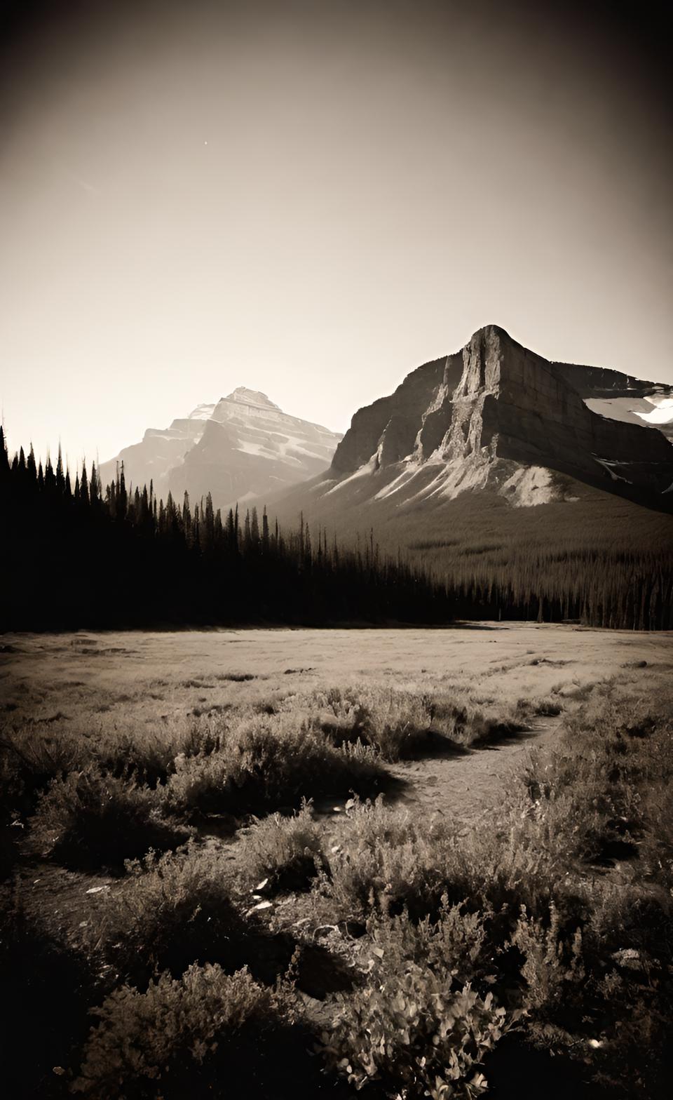 It is important to consider terrain's impact on substance flow in dispersion modelling.
Depending on the project, a modeller may work with sources such as:
- elevation information associated with the meteorological dataset
- Canadian Digital Elevation Data
- provincial digital elevation datasets
- other project-specific or higher-resolution terrain information
Before obtaining a file, the modeller should confirm:
- the coordinate system
- horizontal datum
- elevation units
- terrain coverage
- resolution
- consistency with source and receptor coordinates
- compatibility with the terrain-processing software
A coordinate or datum mistake can produce file of digital terrain elevation data that processes successfully while placing sources or receptors in the wrong physical location. That is one reason The program ran successfully is not the same thing as the model is correct.
Saskatchewan and Manitoba: Flat Does Not Always Mean Simple
The Canadian Prairies are often described as flat. That can be misleading from a dispersion-modelling perspective.
 Modelling fumigation of coastal areas is more effective with CALPUFF than AERMOD
Even where regional terrain relief is modest, local features can still affect:
- source and receptor elevations
- drainage patterns
- local wind flow
- nearby elevated terrain
- dispersion over large distances
Large lakes can also introduce shoreline effects that deserve consideration. For projects in Saskatchewan or Manitoba, a preliminary terrain review should consider:
- terrain elevation relative to the source
- elevated terrain near important receptors
- nearby valleys or escarpments
- large water bodies
- terrain beyond the immediate property boundary
A project does not need mountains to have a terrain question. Sometimes the important issue is simply whether a relatively small change in elevation places a receptor in a location where the plume is more likely to intersect the ground.
When Choosing AERMOD, CALPUFF and Terrain, Start With the Question
One of the most common modelling mistakes is choosing software before clearly defining the physical problem.
AERMOD may be appropriate for many industrial dispersion assessments involving terrain, buildings and conventional regulatory applications.
CALPUFF may be useful where the assessment requires consideration of larger spatial scales, complex meteorological fields, coastal processes or other conditions for which a non-steady-state modelling approach is appropriate.
Instead of asking Which model is better?, try What do we need the model to represent? That decision should consider:
- the regulatory framework
- source characteristics
- terrain
- spatial scale
- meteorological conditions
- nearby water bodies
- atmospheric processes
- receptors of concern
- the consequences of the predicted concentrations
The model is a tool. The physical problem comes first.
The Part That Software Cannot Decide for You
A terrain processor can generate an output file. A dispersion model can calculate concentrations. Neither can independently determine whether the modelling problem was framed correctly. Consider a few examples.
Example 1: The ridge that is outside the property boundary - The facility appears to be located on relatively flat terrain. But an elevated ridge several kilometres away lies between the source and an important receptor.
A modeller who only downloads digital terrain elevation data for the property may miss an important feature and not extend the modelling domain far enough.
Example 2: The beautiful high-resolution dataset - The terrain file has exceptional detail.
But the modeller uses the wrong projection when processing the source coordinates. The resulting terrain representation may look reasonable while being geographically misaligned.
Example 3: The lake that looks irrelevant - A facility is located near a large water body. Most of the year, the standard dispersion model produces reasonable results.
But under certain meteorological conditions, land-water thermal contrasts could produce localized circulation or shoreline effects. The question is not whether the lake appears prominently on a map.
Instead, it's whether it changes the atmospheric process being assessed. These are the kinds of decisions that require professional judgment before the model is run.
Here's a useful rule...
Look at the Terrain Before You Trust the Model
This may sound obvious. It is also surprisingly important.
Before accepting terrain-processing output, open the data.
- Look at the facility.
- Look at the receptors.
- Look at the surrounding landscape.
Ask: Does this look like the place we are actually modelling? That simple step can identify:
- missing terrain
- incorrect coordinate systems
- misplaced sources
- unrealistic elevations
- insufficient data coverage
- unexpected processing artifacts
Good modelling involves software. But it also involves looking at the physical world the software is supposed to represent.
How Calvin Consulting Approaches Terrain in Air Quality Modelling
At Calvin Consulting Group Ltd., terrain processing is part of a larger modelling question. We do not start by assuming that every project needs the same terrain dataset or the same dispersion model.
We begin by examining:
- the facility and emission sources
- the surrounding terrain
- nearby receptors
- buildings and other physical structures
- regional and local meteorology
- regulatory requirements
- the pollutants being assessed
Depending on the project, our work may include processing:
- multi-year site-specific meteorological data
- digital terrain elevation data
- land-use information
- building dimensions and locations
- source characteristics
- receptor networks
These inputs can then be incorporated into modelling systems such as AERMOD or CALPUFF, depending on the requirements of the assessment.
But the software selection is not the first decision. Understanding the physical problem is.
The Bottom Line - Digital terrain elevation data is an essential part of many air-quality dispersion assessments. But the value is not in simply downloading the highest-resolution terrain file available.
The value comes from understanding which terrain features matter, how far their influence extends and whether the modelling system represents the physical processes that affect the project.
A hill may be irrelevant. A modest ridge may control the result. A large lake may introduce meteorological effects that a simple terrain analysis cannot address. And sometimes the terrain is not the problem at all.
That is why good dispersion modelling begins before the first model run. It begins by understanding the landscape.
Need Help Determining What Your Site Actually Requires?
Before spending time processing terrain data or building a full dispersion model, it can be useful to review the physical setting of the project. At Calvin Consulting Group Ltd., we help industrial clients determine:
- whether terrain is likely to be important
- what terrain and meteorological data are appropriate
- whether shoreline or complex-terrain processes require additional consideration
- whether AERMOD, CALPUFF or another approach best fits the assessment
- what regulators are likely to require
More important than building the most complicated modelling setup possible, we build the model that answers the environmental question reliably and defensibly.
If that's also important to you, get in touch with us at...

...to discuss how we can help you.
Clean air is our Passion...Regulatory Compliance is our Business.
Before You Start: Five Questions Worth Asking
If you are planning an air-quality assessment, these questions can save considerable time later:
- What terrain features could actually affect the result?
- Are any important receptors located on elevated terrain?
- Is there a nearby lake, coastline, valley or escarpment that could change local meteorology?
- Does the available terrain data accurately represent the project area?
- Are we selecting a model because it fits the problem—or because it is the software we happen to use most often?
Those questions often determine whether a modelling assessment begins with the right foundation. You might need to capitalize on the ability to recognize when the data, the model and the physical atmosphere are telling different stories.
Recent Articles


-
Surprising Air Pollution Facts: It's Not All Bad News!
Sep 17, 26 06:14 PM
 Trying to improve air quality has been a priority. Here are some air pollution facts to show you how far we've come.
 -
What is air quality and how can we fix it?
Sep 16, 26 11:19 AM
What is air quality? How do you define good air quality? It's just the opposite of air pollution. -
Energy and Environment: Persuading industry to care
Sep 15, 26 02:47 PM
 What's wrong with Alberta's energy and environment? International media criticize the province and its biggest industry almost every day. Here's the truth.
What You'll Learn
Do you have concerns about air pollution in your area??
Perhaps modelling air pollution will provide the answers to your question.
That is what I do on a full-time basis. Find out if it is necessary for your project.
Have your Say...
on the StuffintheAir facebook page
Other topics listed in these guides:
The Stuff-in-the-Air Site Map
And,
Thank you to my research and writing assistants, and the author remains responsible for the content.
A Practical Terrain Checklist
Before finalizing terrain inputs, we ask questions such as:
The landscape
- Is terrain relatively flat, rolling or complex?
- Does terrain rise above important source elevations?
- Are valleys, ridges, escarpments or major slopes present?
The modelling domain
- Does the terrain dataset extend far enough beyond the facility?
- Could terrain outside the receptor grid influence the flow?
- Are important features being clipped by the modelling boundary?
The data
- Is the coordinate system correct?
- Is the datum consistent?
- Are elevations expressed in the expected units?
- Is the resolution sufficient for the physical features of interest?
- Does the terrain surface look physically reasonable?
The receptors
- Are sensitive locations represented accurately?
- Are receptor elevations appropriate?
- Could elevated terrain change where the plume intersects the ground?
The meteorology
- Could terrain influence local wind flow?
- Are valley winds or drainage flows important?
- Is there a nearby coastline or large water body?
- Does the meteorological modelling approach represent the relevant processes?
If these questions are answered before modelling begins, many problems can be identified before they become expensive revisions.
Most Popular Pages on this Website:
Pictures of Global Warming
- See photos, cartoons, charts, graphs and a few surprises.
Clouds
- Don't know a cumulus from a stratus? Check here.
Causes of Global Warming
- It's not always obvious.
Calgary Alberta Weather
- Example of Canadian Goodness.
Thermometers
- Our favourite weather instrument.
- Home
- Contact Us
- Free E-zine Back Issues
- Privacy Policy
- Site Map - I'll help find something good.

By Barry Lough, P.Met., EP (Environmental Professional)
Text copyright © 2003-2026 Stuff in the Air.com
BACK TO TOP - Hit your 'Home' Key